Chicago’s first snow of the 2026-27 season could come Thursday night into Friday, according to predictions from the National Weather Service (NWS).
Here’s the kicker—what was previously projected to amount to a few flurries could turn into up to an inch of accumulation in some areas.
Here’s a breakdown of the forecast and what to expect.
“Slushy accumulations” of lake effect snow possible late Thursday into Friday
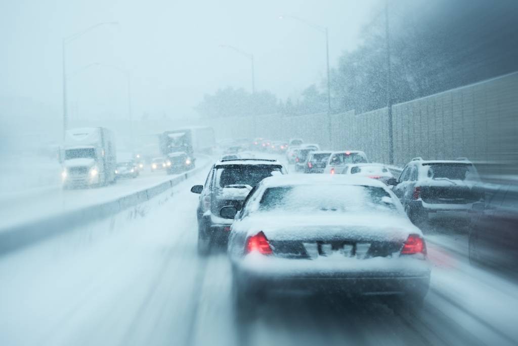
The NWS issued a Special Weather Statement Thursday morning for Southern and Eastern portions of Cook County, as well as portions of Northwest Indiana and areas along the Illinois I-57 corridor.
The weather statement predicts accumulating lake effect snow beginning Thursday night and continuing into Friday morning.
The NWS notes that a “band” of rain will turn into snow overnight, causing “localized slushy accumulations” along its path.
The rainy and snowy mix could impact the Friday morning commute.
“Those driving late tonight through Friday morning should allow for extra travel time and plan for potentially slick roads and sudden sharp visibility reductions,” said the NWS.
Areas south and east of Chicago could see highest accumulations

According to NWS predictions, areas south and east of Chicago could see the highest accumulations of snow Thursday through Friday.
Southwest suburban areas like Oak Park and La Grange could see snow accumulations less than half an inch Thursday night, and new snow accumulations less than half an inch Friday.
Areas further east along the Indiana border like Calumet City could see accumulations up to an inch Thursday night, with new snow accumulations up to an inch Friday.
As for Chicago proper, the likelihood of accumulating snow appears to diminish as we get closer to the heart of the city.
Little to no snowfall expected in Chicago proper, but rainy and snowy mix still possible with near-freezing temperatures

The NWS outlook shows “little or no snow accumulation” for downtown Chicago and areas along the lakefront Thursday night through Friday.
However, we’ll still see a 70% chance of rainy precipitation and near-freezing temperatures. The low will plummet to 39 degrees Thursday night, with rain likely before 1 a.m. and winds up to 30 mph possible.
Rain will continue into Friday, possibly becoming a snowy mix before 10 a.m. Come nighttime, expect a 40% chance of precipitation and a low of 35 degrees, potentially making for some slippery road conditions.
From there, skies will clear for the remainder of the weekend, with highs in the mid 40s Saturday and Sunday.
All in all, it will be feeling a bit more like winter in Chicago this weekend than late fall. So be sure to bundle up if you’re heading outdoors and take extra precautions on roadways!