Weather conditions in Chicago have gotten decidedly chillier over the past week, following a relatively mild start to autumn.
Now, we might even see our first flurries of the season this week!
Predictions from the National Weather Service and NBC Chicago show a combo of near-freezing temps and precipitation in the coming days. Here’s a breakdown of the forecast.
Cold front to bring mid-week precipitation, potential snowflakes

Chicago will see a mild start to the week, with highs in the low 60s Monday and Tuesday, along with plenty of sunshine.
But come Veterans Day on Wednesday, a cool front will move through, bringing a likelihood of precipitation and even the chance for some flurries.
Wednesday will see a high of only 54 degrees, with a 40% chance of showers, and an overnight low of 39 degrees.
Thursday’s high will reach only 43 degrees, with an additional 50% chance of showers.
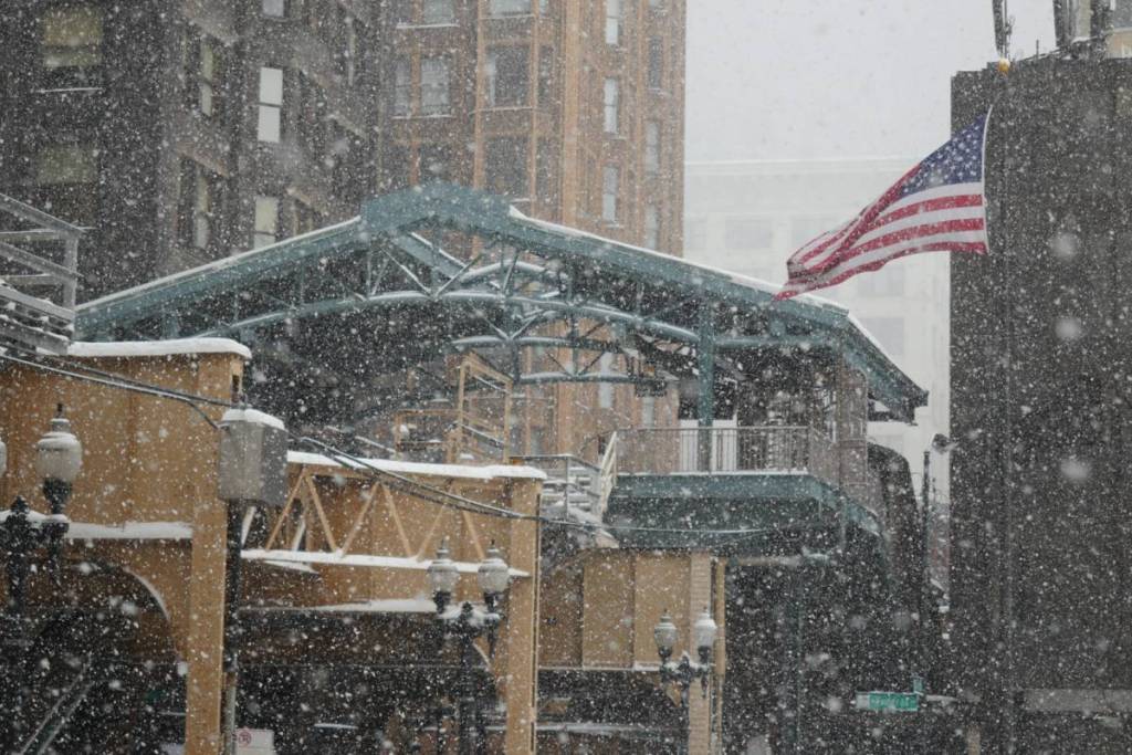
Overnight Thursday is when we could see the first snowflakes of the season, according to NBC Chicago, as temperatures drop to a low of 33 degrees.
But there’s no need to break out your snow shovel just yet—predictions indicate we’ll see a few stray flurries if anything.
Rain could linger into Friday morning, but expect clearer skies by the weekend. Saturday and Sunday will see sunny conditions with highs in the upper 40s and low 50s.
In short, keep your eyes peeled for the potential first snow of the season this week in Chicago—because it’ll likely be a “blink and you’ll miss it” scenario.