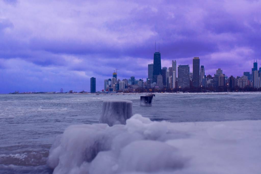

Chicagoans enjoyed a historic October heatwave in time for the Columbus Day holiday on Monday, but the weather is about to take a drastic turn for the colder.
The National Weather Service (NWS) predicts heavy rains followed by a sharp cool-down this weekend, and even the potential for our first frost of the season.
Here’s a look at the forecast and what to expect.
Temperatures to reach near-freezing this weekend in Chicago

In order for frost to form, Chicago needs to see some rainfall—and if predictions from the NWS are any indication, we’ll get plenty Wednesday and Thursday.
Wednesday will see intermittent chances of rain until the afternoon, and a high around 64 degrees.
An autumn storm system will move in Thursday morning, bringing rain and thunderstorms mainly after 1 p.m. and a 100% chance of precipitation overall.
Additional showers are possible Thursday night. Once the storms clear, cool air will arrive with a high of only 56 degrees Friday and an overnight low of 40 degrees.
Saturday’s high will reach 57 degrees, followed by a nighttime low of 43 degrees, and a high of 65 degrees Sunday.
When we could see our first frost
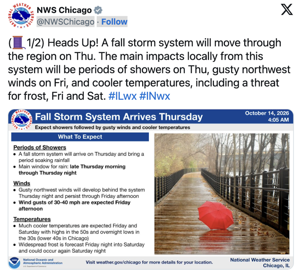
The NWS predicts widespread frost could form amid the drop in temperatures Friday and Saturday.
The greatest chances for frost formation will occur Friday night into Saturday morning, and Saturday night.
While lows will remain just above the freezing mark in Chicago, temperatures could reach the freezing point further away from the lake and into the suburbs.
So be sure to have your heat ready and an extra blanket handy this weekend, Chicago!