Summer is winding down in the Windy City, and Chicagoans are already bracing for the return of the infamous “Chiberia”—but winter 2026-27 in Chicago might look different than seasons past.
The National Oceanic and Atmospheric Administration (NOAA) has released its long range predictions for fall and winter, showing a historic-strength El Niño could form.
Here’s a breakdown of the most recent figures and what they mean for you.
90% chance of “very strong” El Niño event, says NOAA
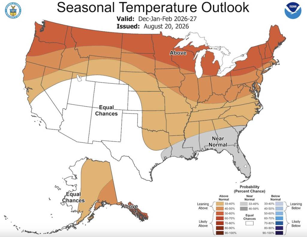
The latest winter 2026-27 predictions from NOAA show a more than 90% chance of a “very strong” El Niño event in the Northern Hemisphere.
For a quick refresher, El Niño is a weather phenomenon in which above-average ocean surface temperatures occur in the pacific equatorial region, influencing weather patterns in North America.
NOAA reports that El Niño conditions are currently present in the pacific ocean and have strengthened over the past month.
Sea-surface temperatures in July were roughly 3.6 degrees above average, while subsurface temperatures also showed an increase.
Combined model predictions indicate El Niño will progress through the remainder of 2026.
The precipitation outlook shows an equal chance of trending higher or lower than average in Chicago.
The data shows a 69% chance of a “historic” event which may surpass previous El Niño patterns in terms of intensity.
What a historic-strength El Niño could mean for Chicago

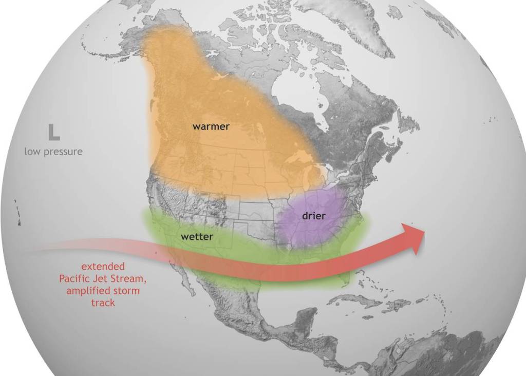
A strong El Niño in Chicago could mean warmer and drier conditions throughout the region, although there’s no guarantee.
While El Niño conditions can heavily trend towards a warmer winter in the Midwest, NOAA’s National Weather Service (NWS) director Ken Graham notes that “Every El Niño is not the same.”
“Each [El Niño] is unique with its own imprint on our weather.”
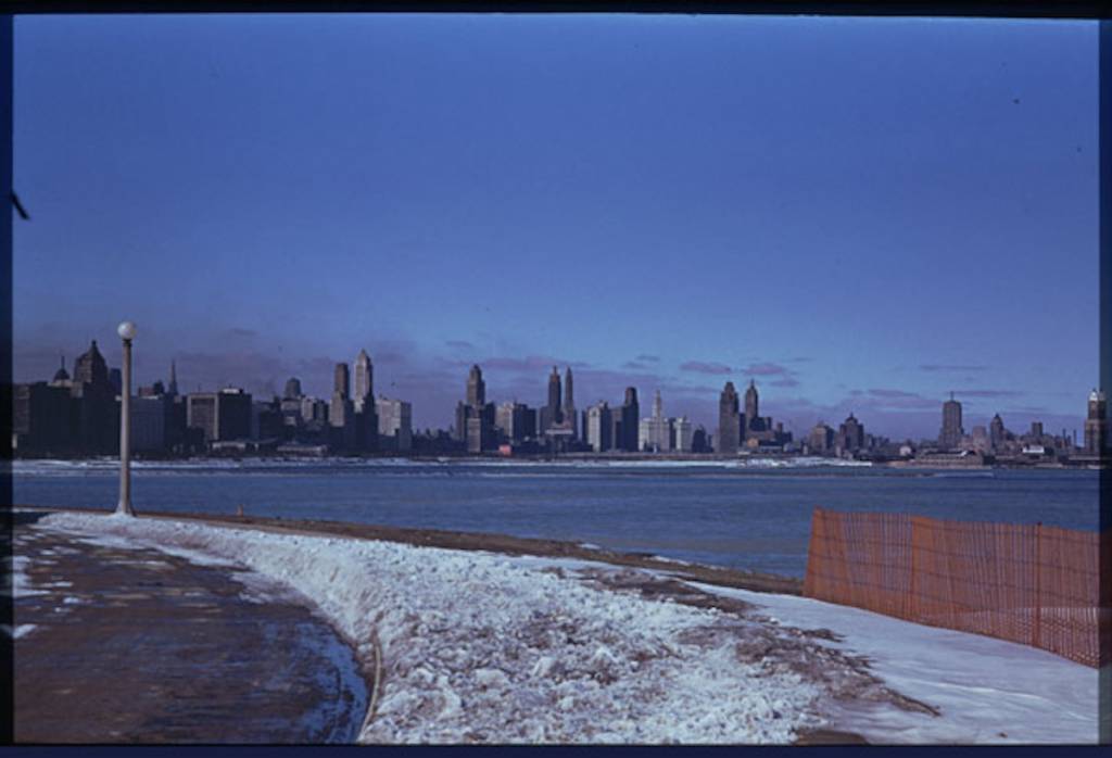
For an educated guess at what the 2026-27 El Niño could bring, let’s revisit some of Chicago’s historical El Niño winters.
- Winter 1941–42 – The winter of 1941-42 stands out amongst Chicago’s historic El Niño winters, with a total snowfall amount of only 15.5 inches. Chicago also observed an unusually warm December that season.
- Winter 1982-83 – A significant El Niño pattern occurred during the winter of 1982-83. Most notably, the warmest Christmas Day on record occurred in 1982, with a high of 64 degrees. Chicago also saw lower-than-average snowfall totals that winter at just 16.0 inches total.
- Winter 2015-2016 – Another strong El Niño event occurred during the winter of 2015-16, with an an average high of 37.8 degrees recorded in the Chicago region. This figure marked a 4.2 degree increase from the 1981-2010 average. Chicago also saw lower-than-normal snowfall of only 16.3 inches total.
So while exact outcomes are still susceptible to change, historical data and the most recent NOAA outlooks show Chicago could very well be in for a warmer winter season.