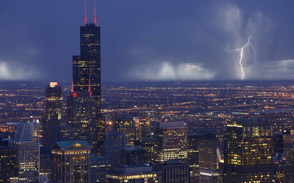

Chicago is reeling from a rash of intense storms that blew through Wednesday night—but if you thought the worst was behind us, think again.
Another round of thunderstorms, high winds, and flooding will impact the region tonight, according to predictions from the National Weather Service (NWS).
Here’s a breakdown of the storm timeline and some safety tips.
Chicago under Flood Watch

The NWS has issued a Flood Watch for Cook County and the greater Chicago region until 11 p.m. Thursday, June 11.
Showers and thunderstorms are possible before 2 p.m., with some storms producing “heavy rainfall,” according to NWS data.
Thursday’s high will reach a toasty 80 degrees, with a 60% chance of precipitation in the afternoon.

Come nighttime, additional severe storms are likely until 10 p.m., with a 90% chance of precipitation. Expect winds up to 25 mph and new rainfall amounts up to three quarters of an inch.
If you’re sick of all this rain, have no fear—by Friday, conditions will finally improve, with sunshine and a high of 76 degrees in store.
So hang in there Chicago, it’s going to be a soggy 24 hours—but clearer skies are ahead!