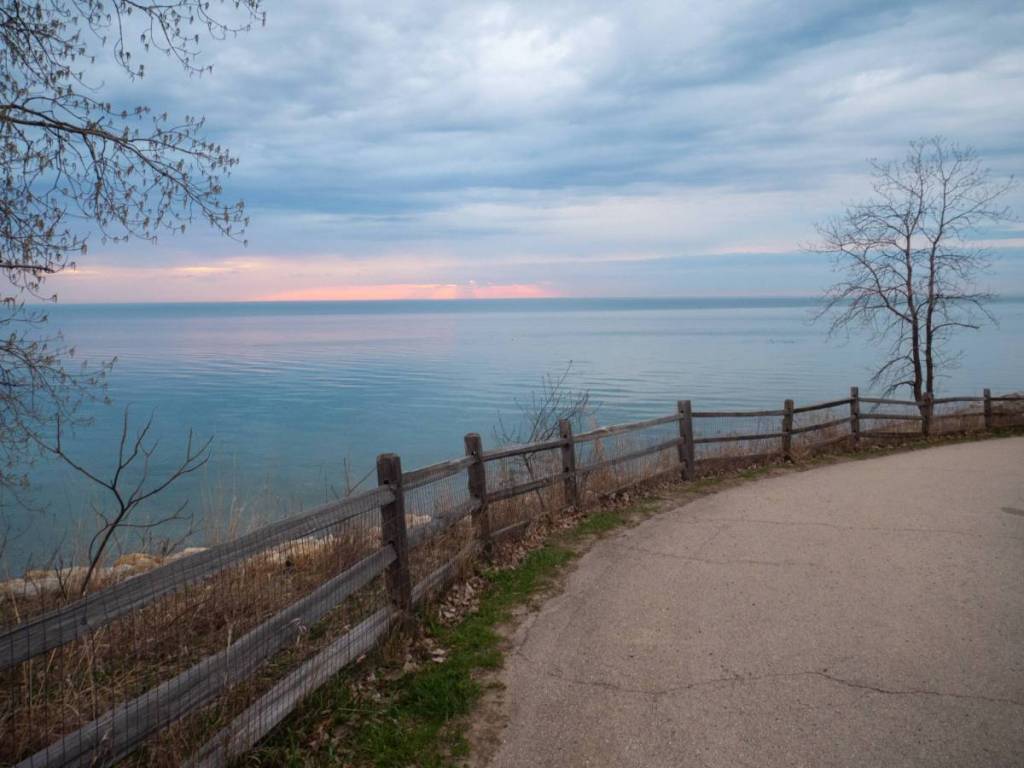

A little north of Chicago, you’ll see how the flat lakefront suddenly rises into wooded bluffs. It seems quite out of place beside Lake Michigan—and if you’re wondering why, we’re about to dig deep into the phenomenon.
The bluffs rising between North Chicago and Winnetka—some up to 90 feet tall—are not ordinary hills. They are the eroded remains of a landscape the Laurentide Ice Sheet assembled during the Wisconsin Glacial Episode, then carved into cliffs through thousands of years of wave movement.
Inside the ancient forces that formed north Chicago’s Lake Michigan bluffs
About 14,000 years ago, a massive ice sheet pushed south from Canada, carrying sand, silt, clay, and rock. When its edge stalled near today’s Illinois shoreline, the melted ice dropped debris in huge piles and formed broad ridges called the Lake Border Morainic System.
But those ridges did not become bluffs on their own. Lake Michigan’s ancient predecessor did the carving.
As Glacial Lake Chicago—an early, higher version of Lake Michigan—rose and fell, waves wore away the base of the ridges. The ground above eventually collapsed, slowly turning the gentle slopes into the steep, wooded bluffs seen today.

Why the coastal marvel is disappearing
The same weakness that let waves sculpt the bluffs also makes them vulnerable today. The bluffs consist largely of unconsolidated glacial sediment, and fluctuating lake levels, storms, and ice continue to remove material from their bases. Illinois coastal scientists note that erosion and habitat loss increased sharply during the high-lake-level period from 2013 to 2020.
Historically, bluff erosion supplied sediment to other beaches along the shoreline. But modern protection measures—seawalls, revetments, groins, and breakwaters—can interrupt that natural supply while trying to hold the shoreline in place.
Can this 14,000-year-old problem be fixed?